UAV & Payloads · GeoSAT Product
LiDAR & Photogrammetry PayloadsDJI
Zenmuse P1
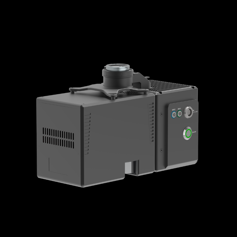
The DJI Zenmuse P1 is a full-frame photogrammetry camera designed for professional aerial surveying and mapping. It captures high-resolution aerial imagery for accurate geospatial data collection.
The DJI Zenmuse P1 is a professional aerial imaging solution developed for surveying, mapping, and photogrammetry applications. It combines a full-frame sensor with interchangeable fixed-focus lenses to capture detailed aerial images. Designed for integration with DJI enterprise drones, it supports efficient data acquisition across large areas. It helps professionals produce accurate 2D maps, 3D models, and geospatial datasets.

Zenmuse P101 / 02