
Precision for Nepal
See farther.
Measure better.
Enterprise drones and survey-grade geospatial technology, backed by local expertise, training and support across Nepal.
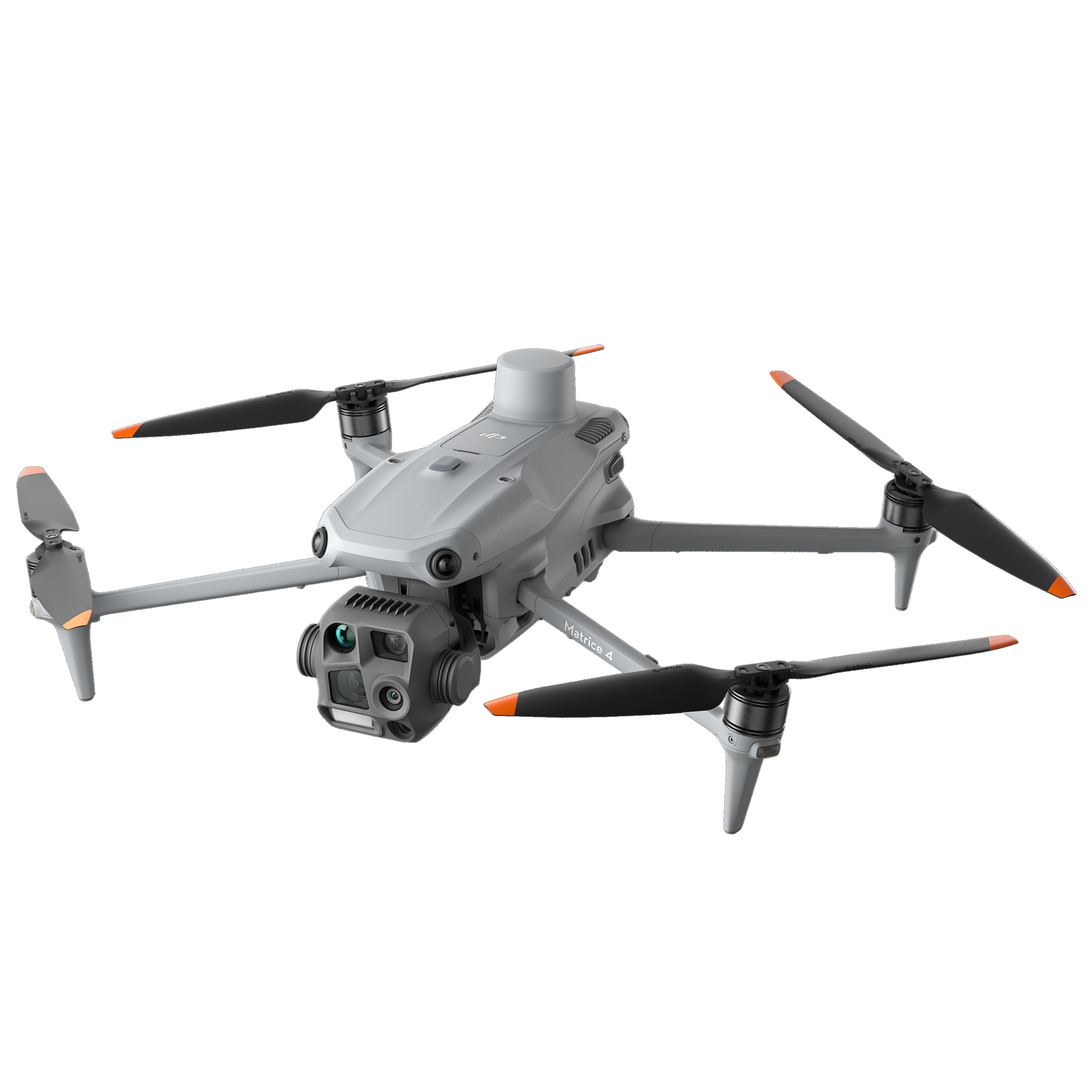
Featured platform
DJI Matrice 4 Series
Intelligent multi-sensor operations
Official
Distribution partner
2018
Founded in Nepal
Nationwide
Field support
End-to-end
Geospatial workflows
Your geospatial partner
Two global leaders.
One local team.
GeoSat Solutions is the official distributor for Nepal for DJI Enterprise and Trimble Geospatial, bringing world-class positioning, mapping and aerial intelligence closer to the teams building Nepal.
DJI Enterprise
Professional UAV platforms, payloads and connected flight operations.
Trimble Geospatial
Precision GNSS, total stations, laser scanning and field software.
Product portfolio
Precision, from air to ground.
49 min flight time
Matrice 4 Series
Compact, intelligent multi-sensor drones for mapping, inspection and public safety.
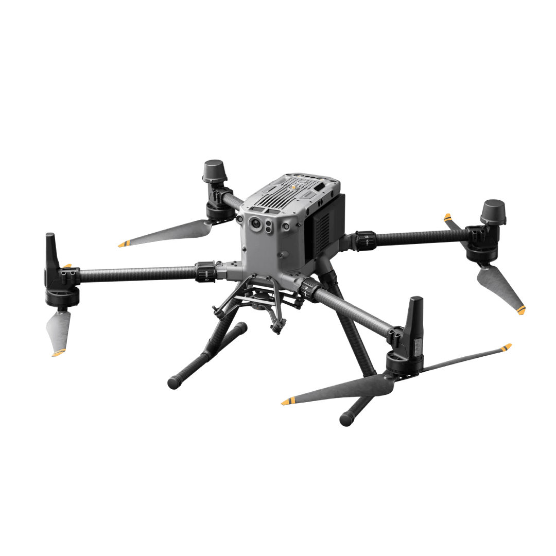
Enterprise RTK platform
Matrice 350 RTK
A rugged, multi-payload flight platform built for demanding field operations.
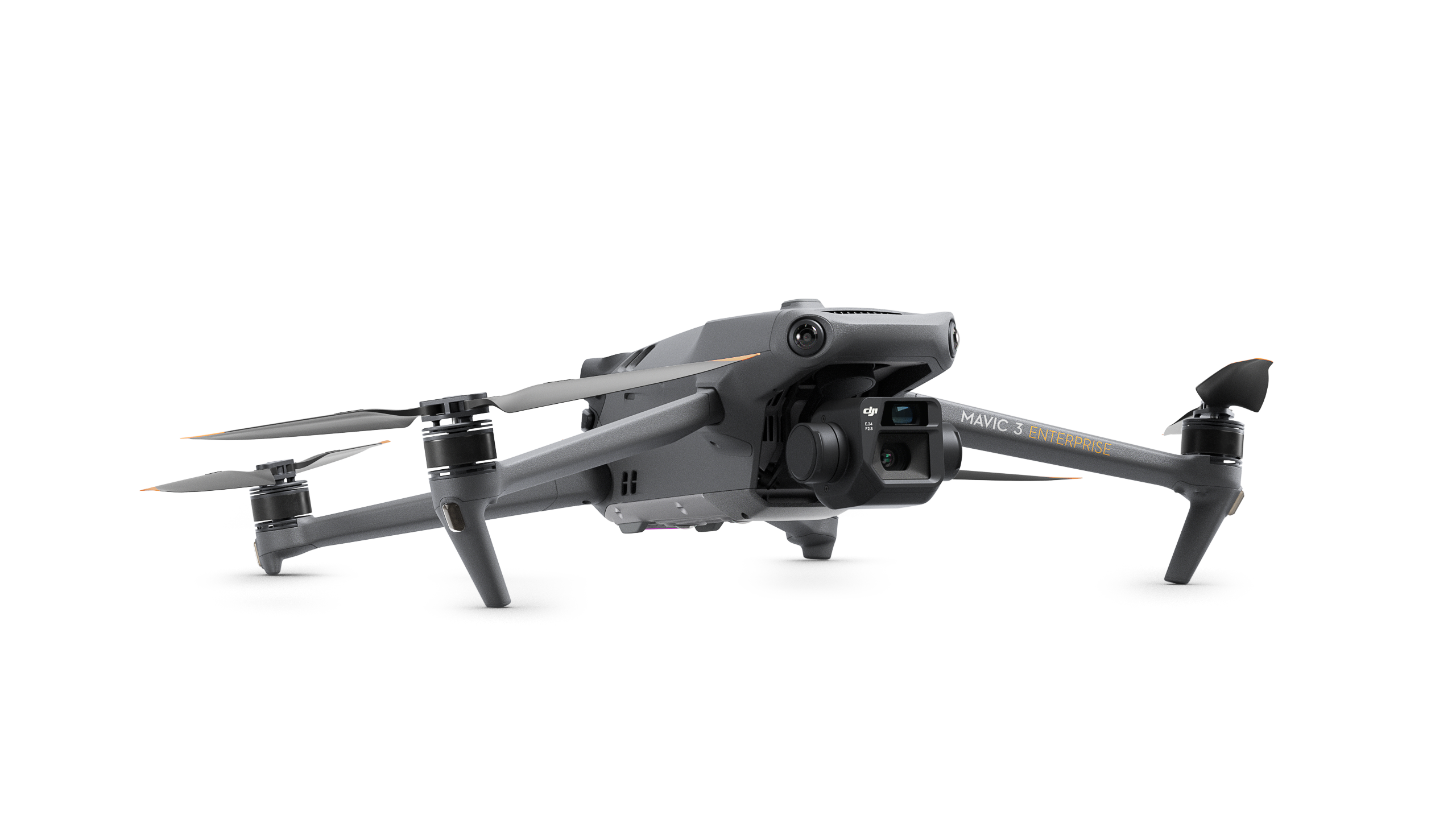
45 min flight time
Mavic 3 Enterprise
A portable mapping workhorse with a mechanical shutter and RTK capability.
Precision GNSS
R12i GNSS System
Survey-grade GNSS performance with tilt compensation for faster field work.

Survey + scan
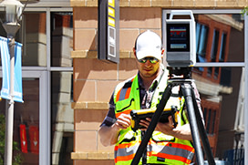
SX12 Scanning Total Station
High-accuracy surveying and high-speed 3D scanning in one field instrument.
Reality capture
X9 3D Laser Scanner
Fast, reliable reality capture with self-leveling and automatic calibration.

Built for the field
Clarity for every contour.
From Himalayan corridors to dense urban sites, we connect hardware, software and practical expertise into complete geospatial workflows.
Beyond the equipment
Support that stays close.
Get local advice through selection, deployment and every mission after it.
Consultation & Supply
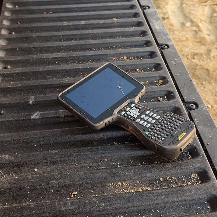
The right platform, payload and workflow for your project—not just a box.
Training & Onboarding
Hands-on operator training and practical field workflow guidance.
Repair & Maintenance
Technical diagnostics, annual maintenance and responsive local support.
Equipment Lease
Project-based access to professional survey and aerial equipment.
Genuine products
Official supply channels and authentic enterprise equipment.
Technical expertise
A team of geospatial professionals, engineers and field specialists.
Complete workflows
Hardware, software, training, deployment and support in one place.