UAV & Payloads · GeoSAT Product
LiDAR & Photogrammetry PayloadsGVI
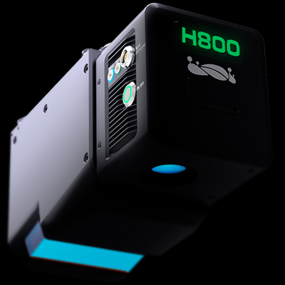
LiAir H800
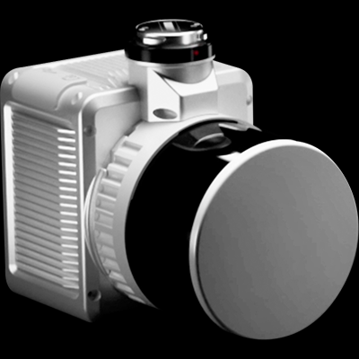
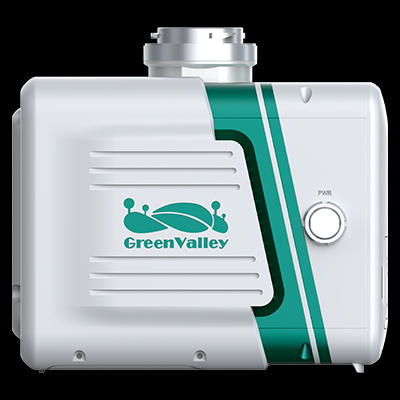
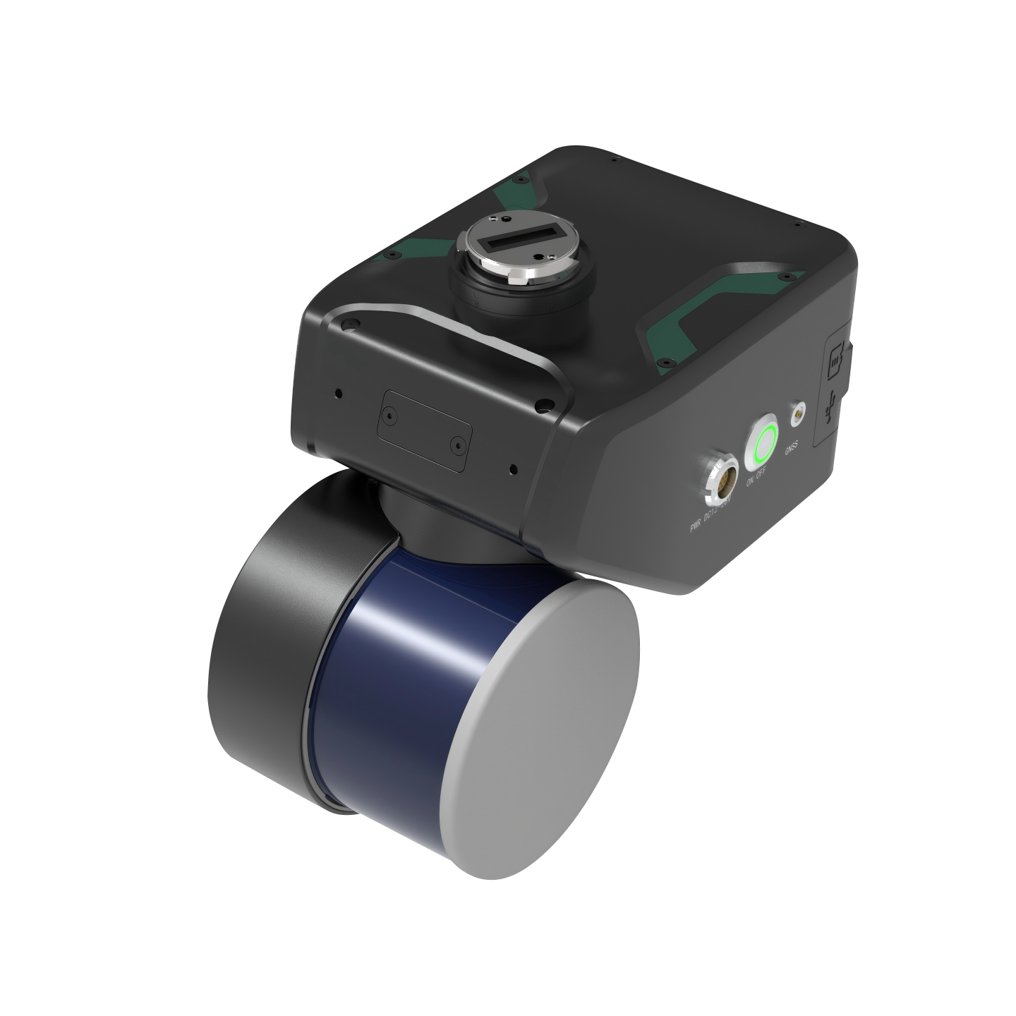
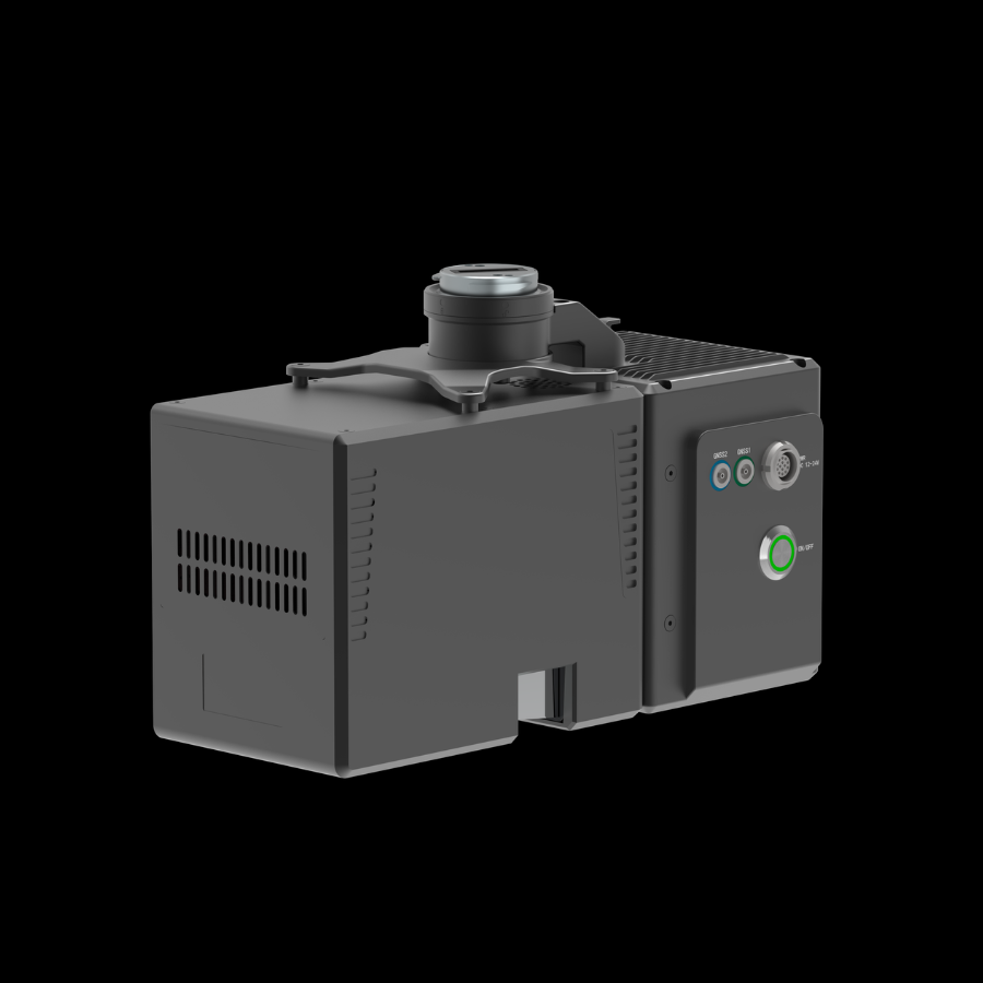
The GreenValley LiAir H800 is a medium-to-long-range UAV LiDAR system designed for professional surveying and 3D mapping. It delivers detailed spatial data for large-area surveys, forestry, and infrastructure inspection.
The LiAir H800 is an advanced airborne LiDAR solution developed for high-precision surveying, mapping, and inspection applications. It integrates a long-range laser scanner, high-precision inertial navigation system, and a built-in 26 MP mapping camera. With a scanning range of up to 1,000 meters, it supports efficient data collection across large and complex environments. It is suitable for forestry surveys, powerline inspection, topographic mapping, and emergency disaster assessment.
LiAir H80001 / 01