UAV & Payloads · GeoSAT Product
LiDAR & Photogrammetry PayloadsGVI
LiAir X3-H
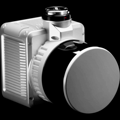
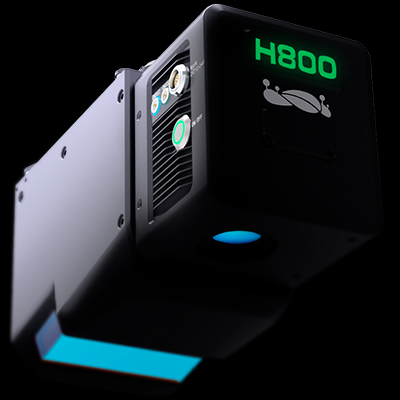
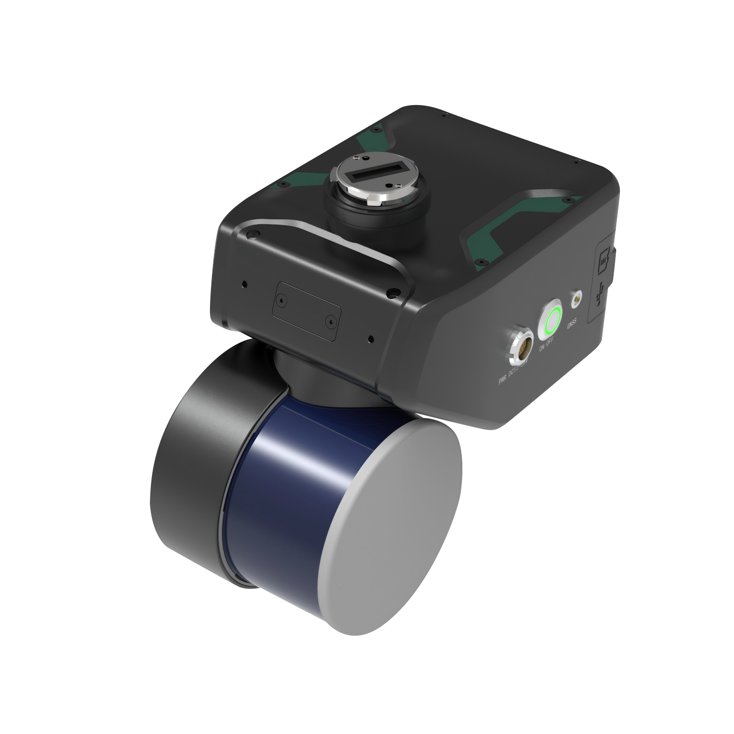
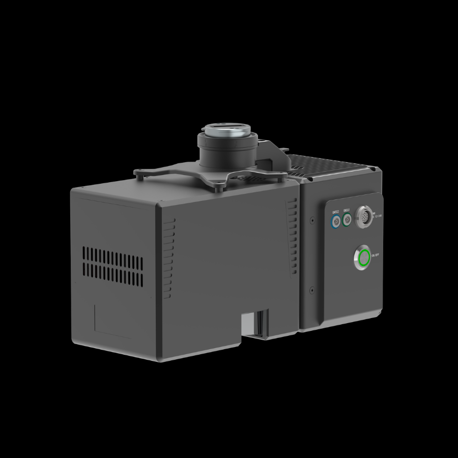
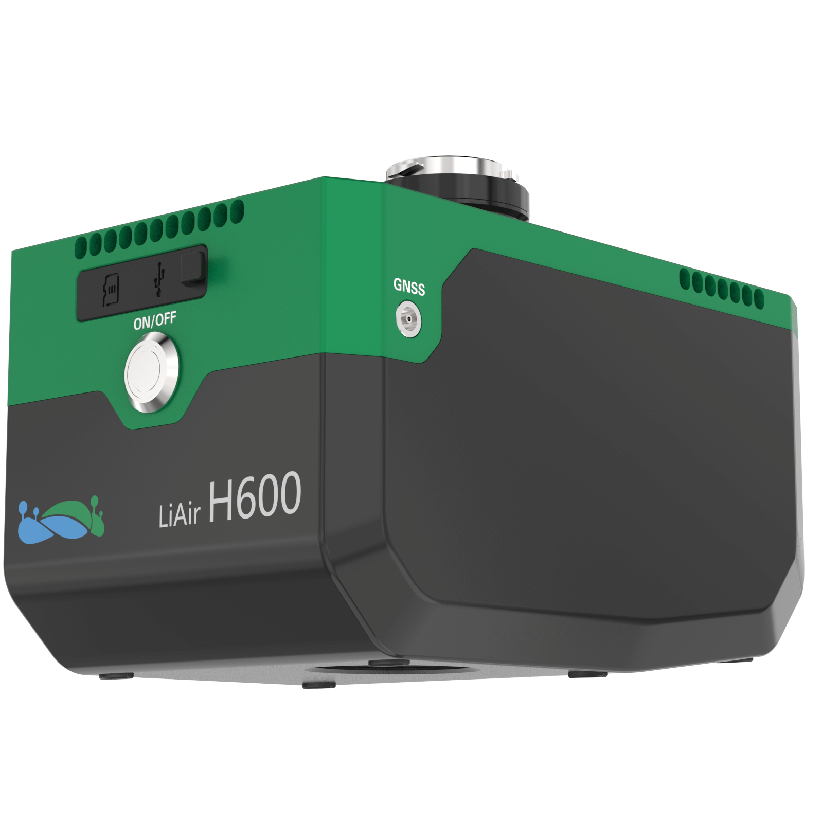
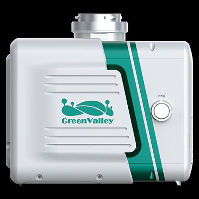
The GreenValley LiAir X3-H is a high-performance UAV-based LiDAR system designed for professional surveying and 3D mapping. It supports both aerial and handheld scanning for detailed spatial data collection.
The LiAir X3-H is an integrated LiDAR mapping solution developed for professional surveying, forestry, mining, and infrastructure applications. It combines a lightweight laser scanner, high-precision inertial navigation system, and a 26 MP mapping camera. Its compact design supports both UAV-mounted and handheld scanning operations. It enables the creation of accurate 3D point clouds, true-color models, and orthophotos.
LiAir X3-H01 / 01