UAV & Payloads · GeoSAT Product
LiDAR & Photogrammetry PayloadsDJI
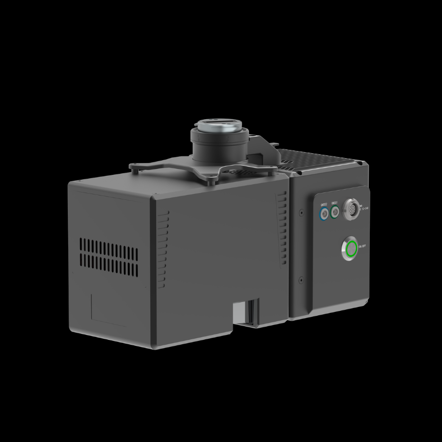
Zenmuse L3
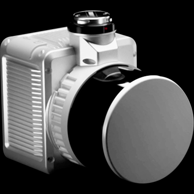
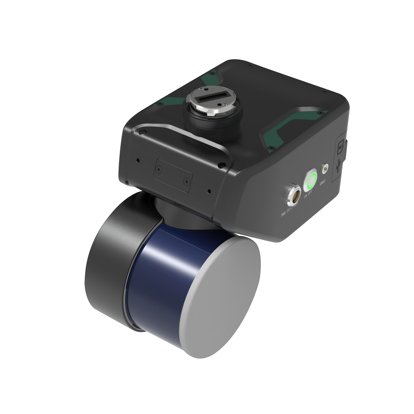
The DJI Zenmuse L3 is a professional aerial LiDAR sensor designed for high-precision surveying and mapping. It captures detailed terrain and surface data to support accurate geospatial analysis.
The DJI Zenmuse L3 is an advanced airborne LiDAR system developed for professional surveying, mapping, and inspection applications. It combines laser scanning technology with high-resolution imaging to capture detailed information about the surrounding environment. Designed for integration with DJI enterprise drone platforms, it enables efficient large-area data collection. It supports the creation of precise 3D point clouds, terrain models, and geospatial datasets.

Zenmuse L301 / 02