UAV & Payloads · GeoSAT Product
LiDAR & Photogrammetry PayloadsGVI
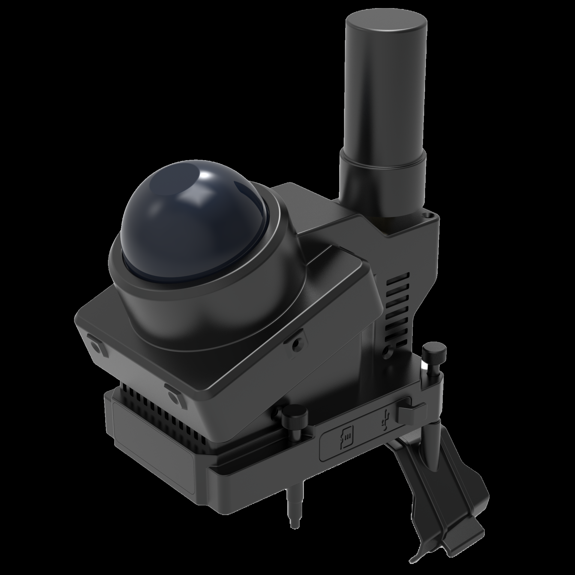
LiAir Xmini
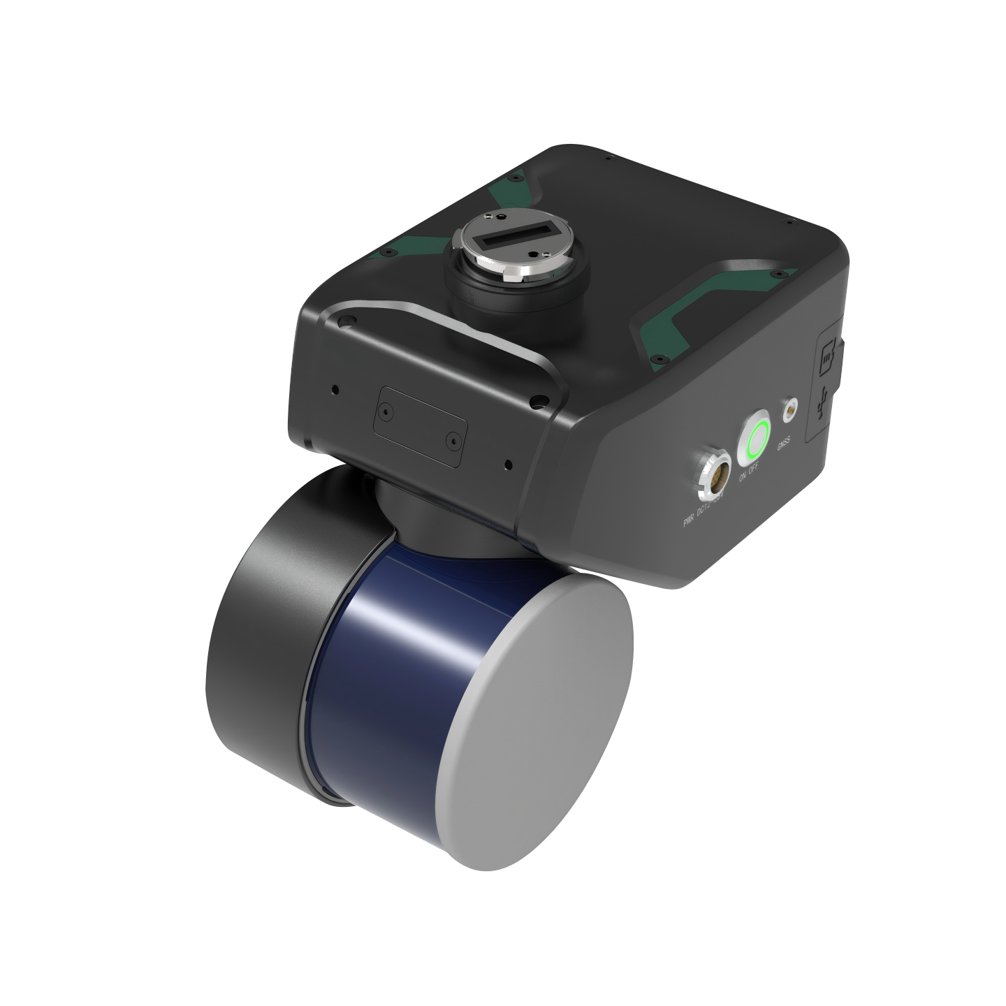
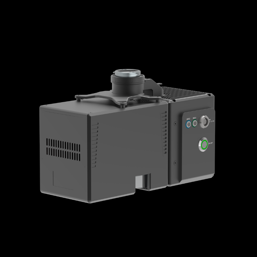
The GreenValley LiAir Xmini is a lightweight UAV-based LiDAR scanning system designed for close-range 3D mapping and inspection. It captures detailed spatial data in both open areas and GNSS-denied environments.
The LiAir Xmini is a compact aerial LiDAR solution developed for professional surveying, mapping, and inspection applications. It combines a 360° LiDAR scanner, high-precision INS, and SLAM technology for detailed 3D data collection. Its lightweight design supports integration with compatible DJI Matrice 4 series drones. It is suitable for tunnels, mines, forests, pipelines, bridges, and other challenging environments.
LiAir Xmini01 / 01