UAV & Payloads · GeoSAT Product
LiDAR & Photogrammetry PayloadsGVI
LiAir X4 Plus
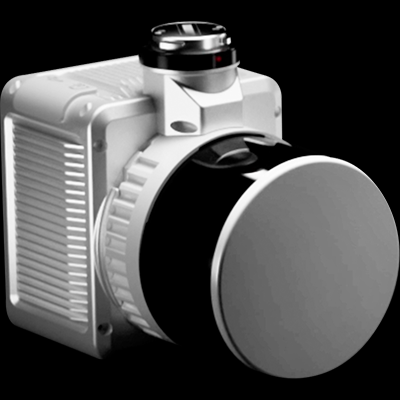
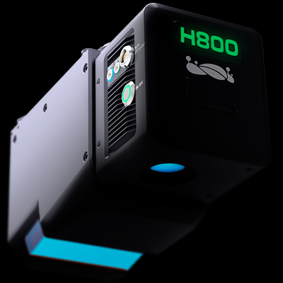
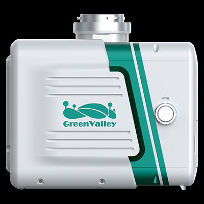
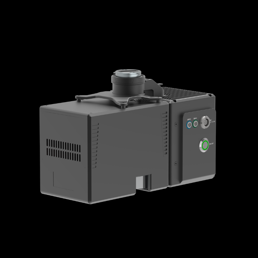
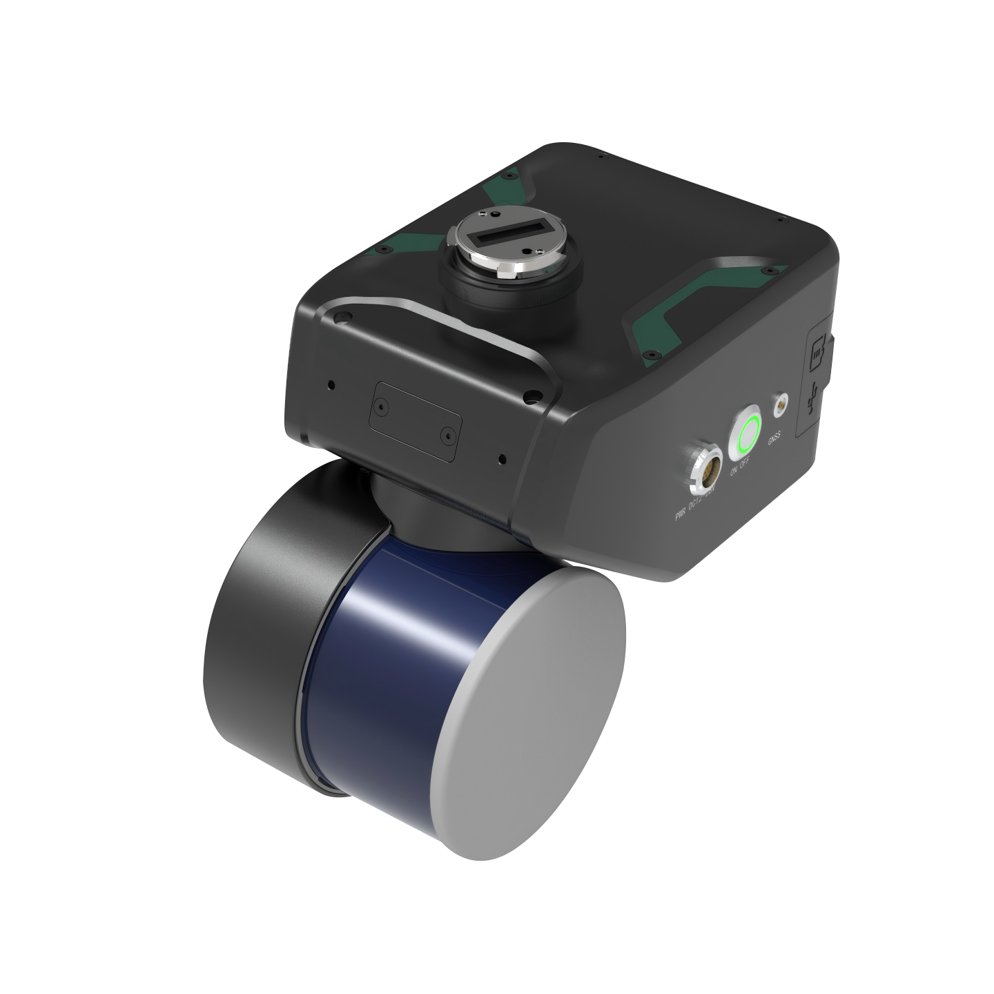
The GreenValley LiAir X4 Plus is an advanced autonomous airborne and handheld LiDAR system designed for professional 3D mapping and surveying. It enables efficient aerial and ground-based spatial data collection.
The LiAir X4 Plus is a next-generation LiDAR mapping solution developed for surveying, inspection, and infrastructure applications. It combines a 32-channel LiDAR sensor, high-precision INS, a 26 MP mapping camera, and three panoramic cameras. Its autonomous flight and obstacle-avoidance capabilities support efficient data collection in complex environments. It enables integrated aerial and handheld scanning for detailed 3D point clouds and accurate digital models.
LiAir X4 Plus01 / 01