UAV & Payloads · GeoSAT Product
LiAir X3C-H
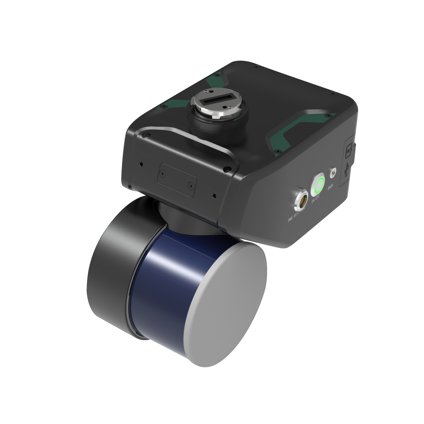
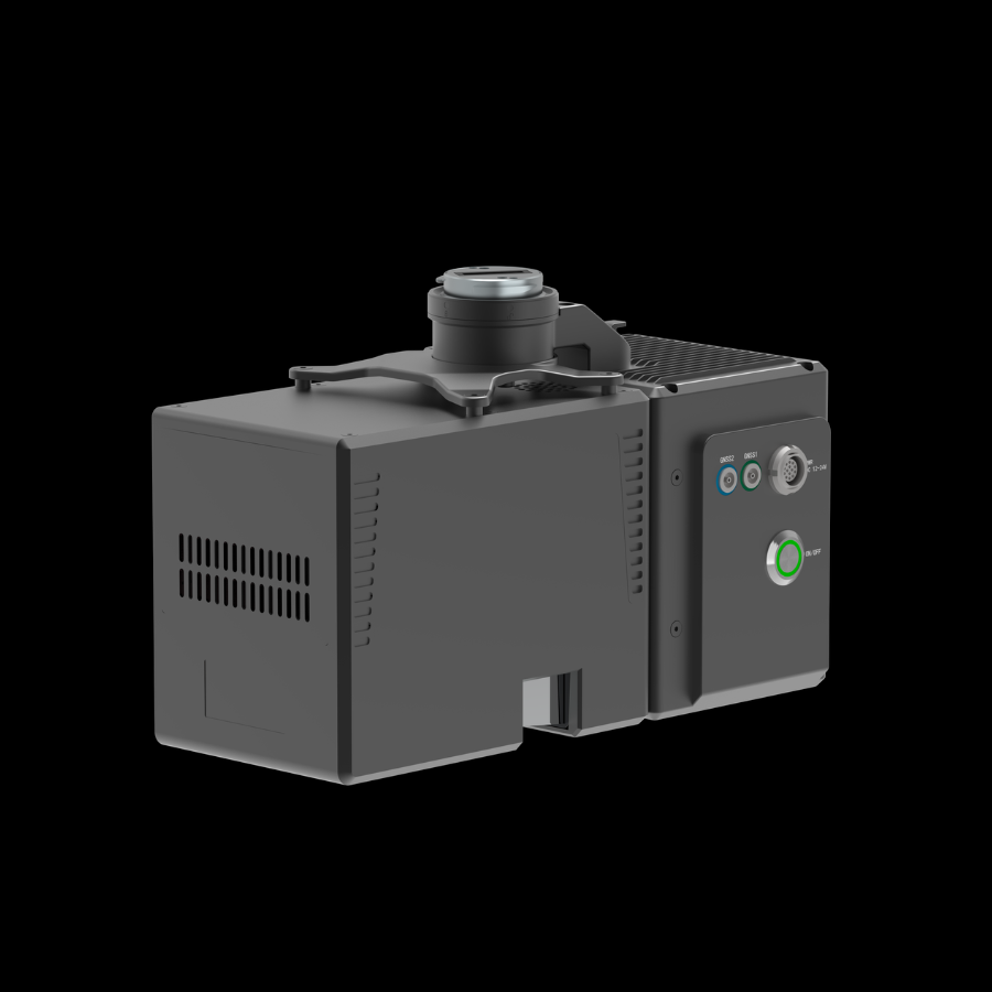
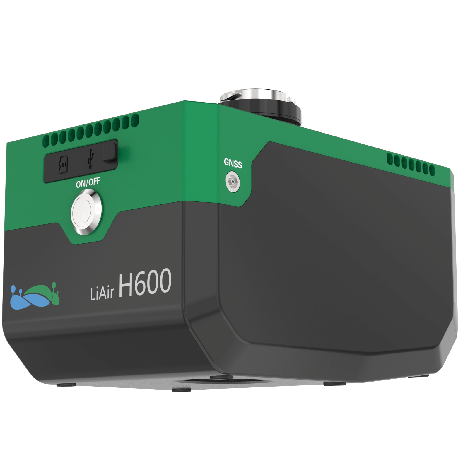
The GreenValley LiAir X3C-H is a compact UAV LiDAR system built for capturing accurate 3D information from aerial surveys. Its integrated scanning technology and 26 MP camera make it useful for mapping, forestry, and infrastructure projects.
Designed for efficient aerial data collection, the LiAir X3C-H combines a 32-channel LiDAR sensor, inertial navigation system, and high-resolution mapping camera in a lightweight 1.12 kg unit. Its 360° horizontal scanning capability captures detailed spatial information from surrounding terrain. The system supports the creation of georeferenced point clouds and high-quality aerial mapping outputs. It is suitable for powerline inspection, topographic surveys, forest monitoring, and agricultural mapping