UAV & Payloads · GeoSAT Product
LiDAR & Photogrammetry PayloadsGVI
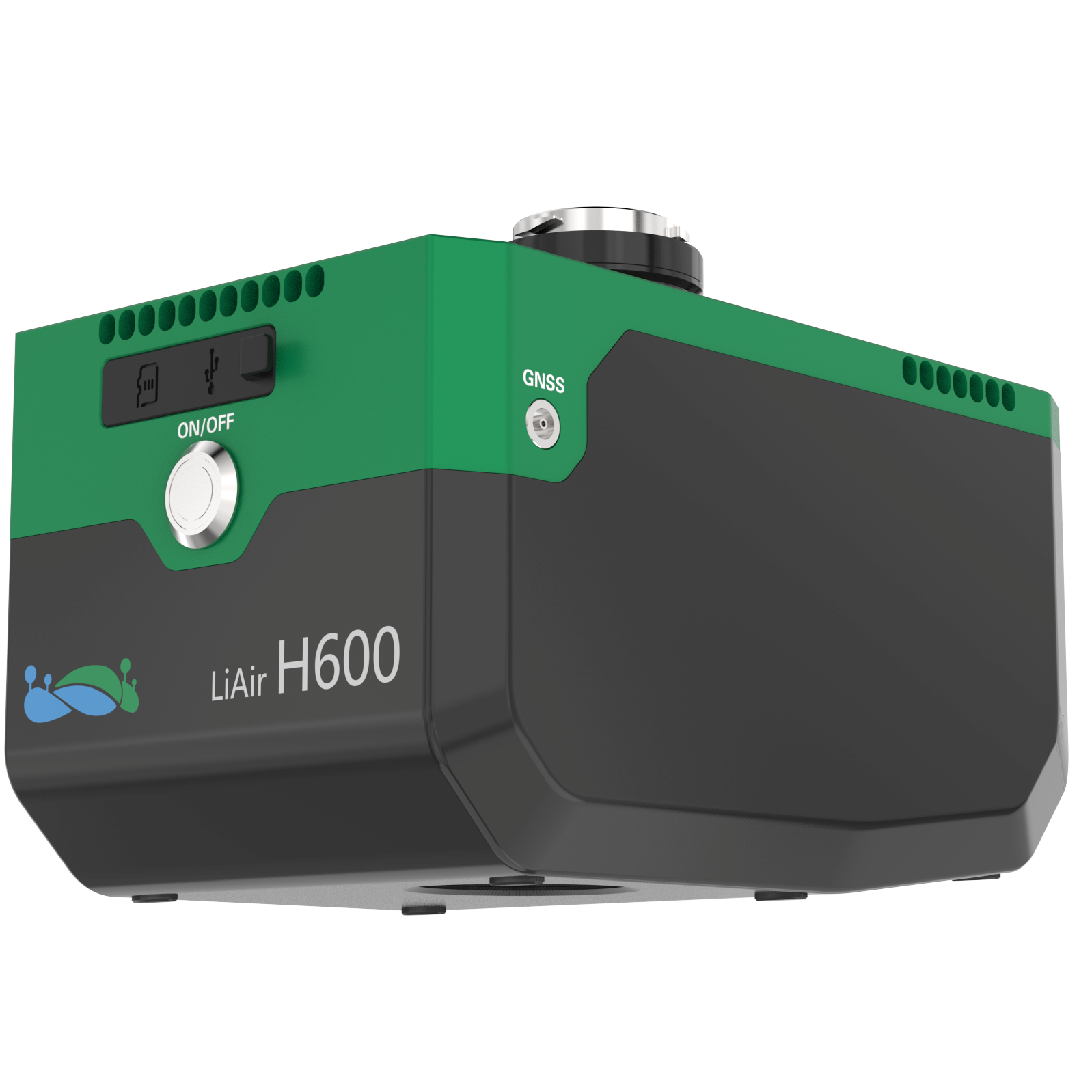
LiAir H600
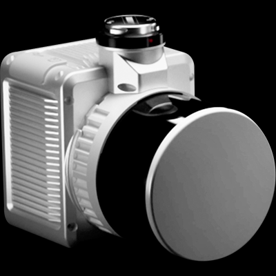
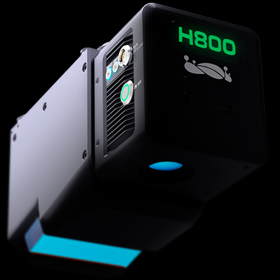
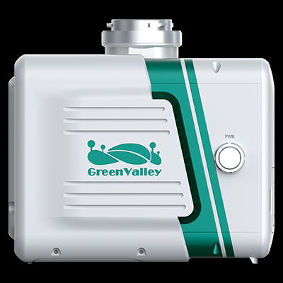
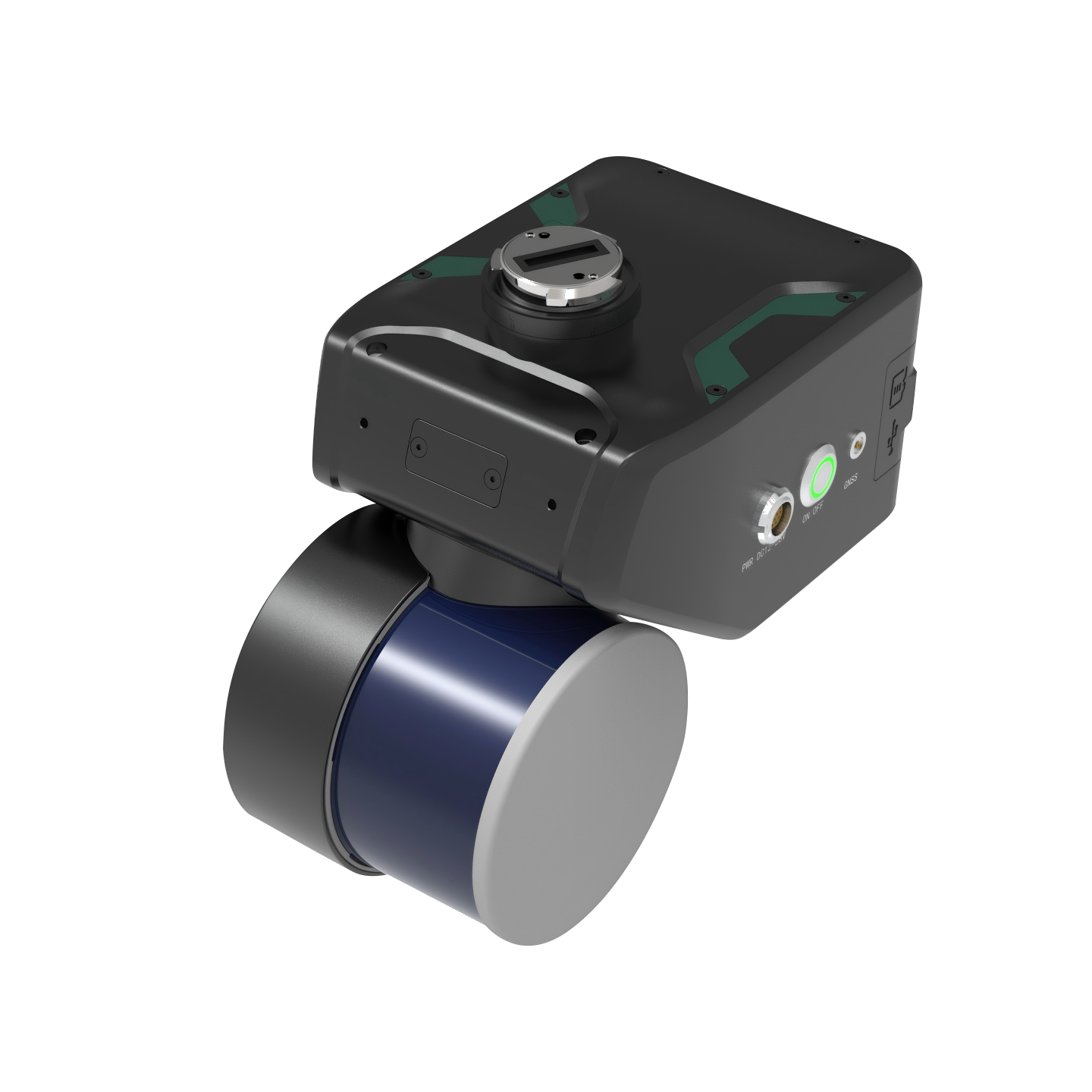
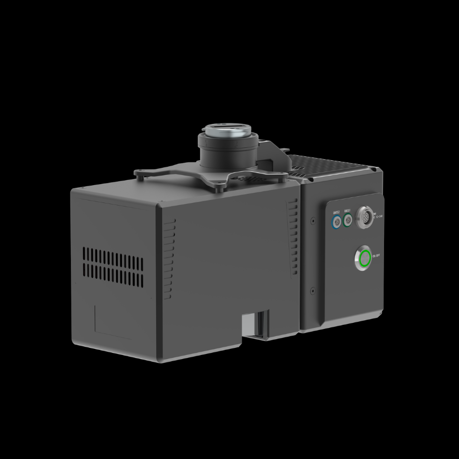
The GreenValley LiAir H600 is a lightweight, medium-range aerial LiDAR system designed for professional surveying and 3D mapping. It captures high-precision spatial data and detailed aerial imagery.
The LiAir H600 is an advanced UAV-based LiDAR system developed for surveying, mapping, and infrastructure inspection. It integrates a high-precision laser scanner, inertial navigation system, and a 26 MP mapping camera. Its lightweight design supports efficient aerial data collection over large and complex areas. It is suitable for forestry surveys, powerline inspection, terrain mapping, and disaster assessment.
LiAir H60001 / 01