Survey Equipment · GeoSAT Product
Mobile Mapping Systems
LiMobile M2
Affordable Mobile Laser Scanning System
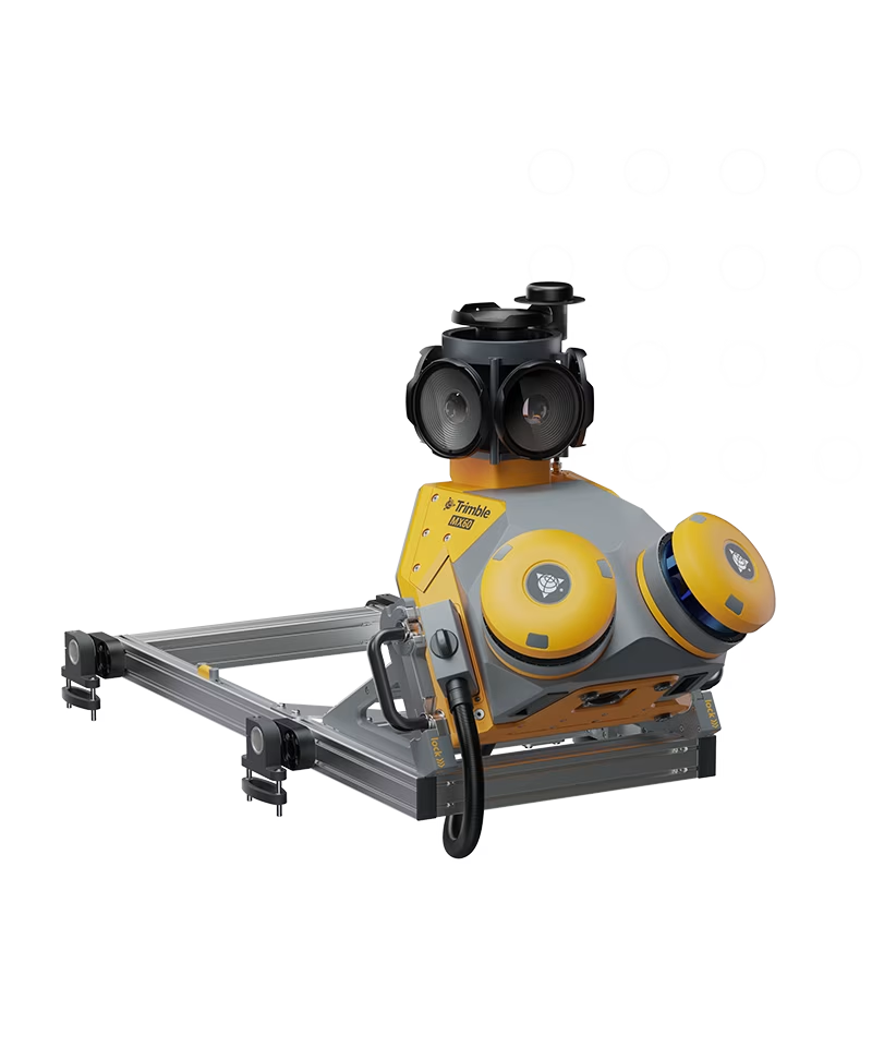
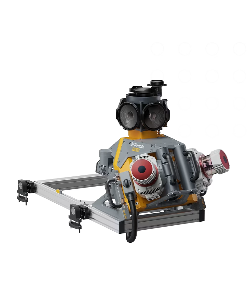
The LiMobile M2 integrates dual LiDAR (30° tilted/horizontal) and a Ladybug5+ panoramic camera for 3D road/environment mapping. Using laser SLAM, it achieves high-precision GPS-denied scanning. Paired with GreenValley International's LiDAR360MLS software, it enables end-to-end data processing for applications including road asset extraction, urban powerline analysis, forestry management, and smart transportation.
LiMobile M201 / 01