UAV & Payloads · GeoSAT Product
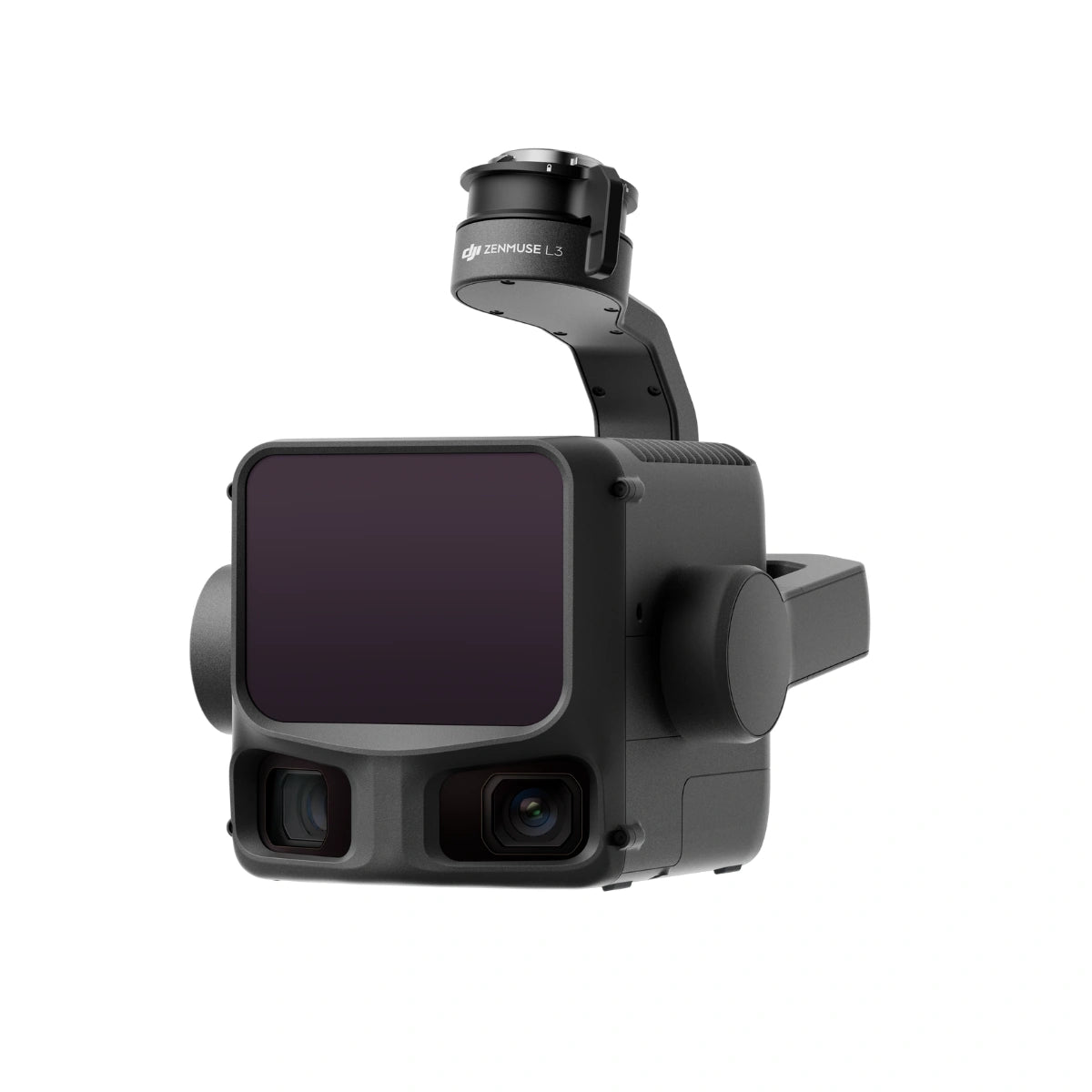
DJI Zenmuse L3
DJI Zenmuse L3 is a professional aerial LiDAR system designed for high-precision surveying, mapping, and geospatial data collection. It helps professionals capture accurate 3D information for complex terrain and infrastructure projects.
Built around a 1535 nm Class 1 laser and dual 100 MP Micro 4/3 cameras, the Zenmuse L3 delivers up to 950 m LiDAR range and 2–4 cm accuracy for survey-grade mapping, topographic surveys, infrastructure inspection, and digital twin creation on the Matrice 400 RTK. Adjustable point-rate control from 100 kHz to 2 MHz and configurable returns up to 16 let operators balance point density against coverage, reaching up to 10 km² per flight or 100 km² per day. At 1.6 kg and IP54-rated for -20°C to +50°C operation, it integrates directly into DJI Terra workflows to output point clouds, orthophotos, and 3D models.